
St Maarten
Location
St Maarten is positioned in the North Eastern Caribbean (18º N, 63º W) within the Lesser Antilles island group in addition to Saba and St Eustatius. It is one of the five islands that make up the Netherlands Antilles: St. Maarten, St. Eustatius and Saba (Windward Islands) and Bonaire and Curaçao (Leeward Islands).
The Windward Islands become part of the Lesser Antillean Island Arc, which extends from Puerto Rico in the North to the shoreline of Venezuela in the South.
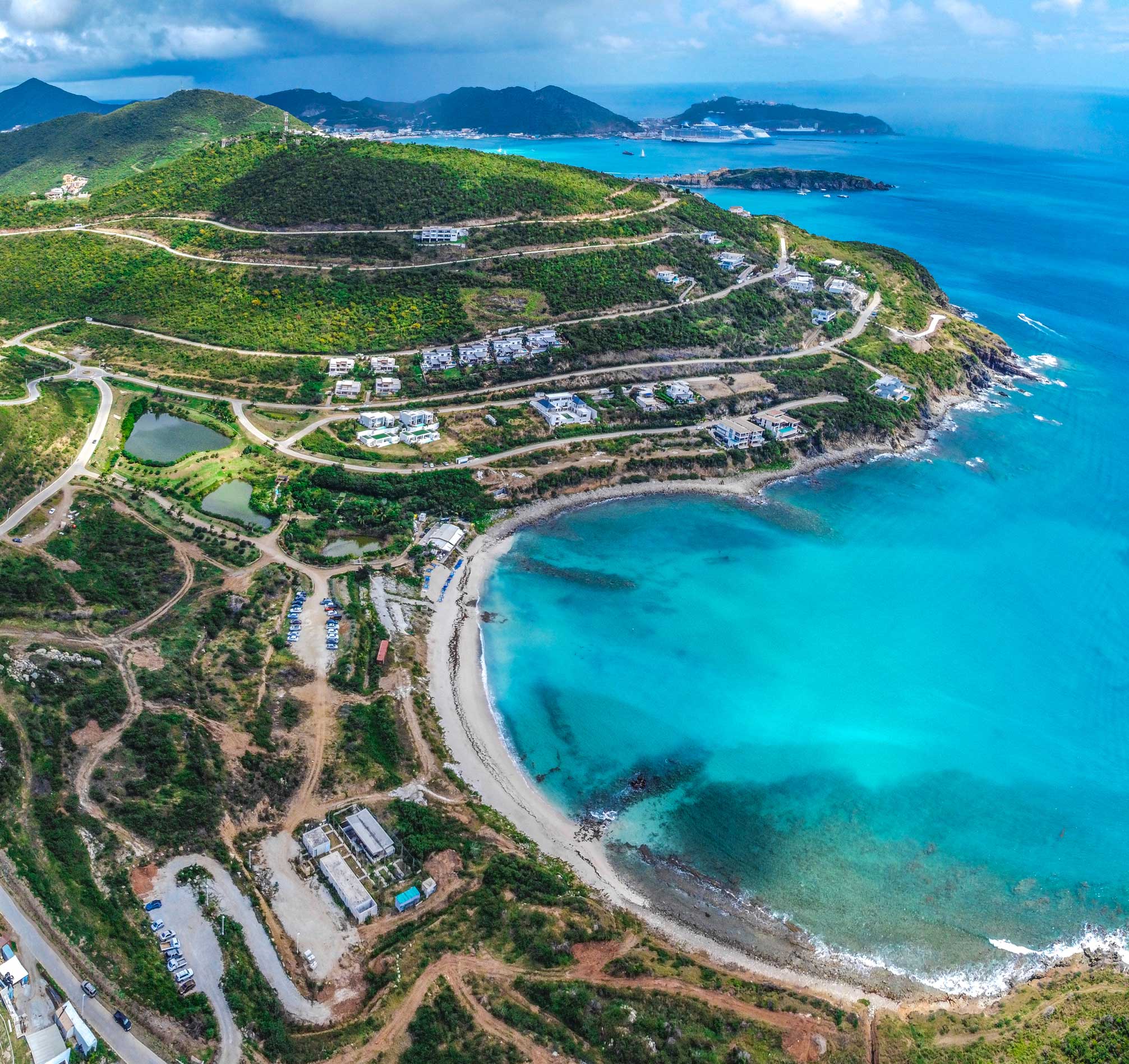
The Windward Islands lie within eye sight of each another, St. Maarten is 63 km from St. Eustatius and 48km from Saba. St. Maarten Real Estate is the biggest of the three Windward Islands and has a location of about 95.8 km ².
St Martin / St Maarten is the tiniest island on the planet to be shared by 2 sovereign governments – the Dutch and French. Considering that in 1648 the island has been divided in two, with, Sint Maarten, the smaller sized Southern side comprising part of the Netherlands Antilles (41.4 km2 ), and Saint Martin, the bigger Northern side being a French Overseas Territory (54.3 km ²).
View this post on Instagram
The island is situated on a submarine plateau called the Anguilla bank with a maximum depth of 36m, which it shares with the islands of Anguilla and St Barthélemy. St Martin/St Maarten has an irregular shape, having numerous bays and lagoons along its coast. Numerous unoccupied small islands surround St Martin/St Maarten. Tintamarre, also called Flat Island, Ile Pinel, Little Secret and Green
Key at the eastern side of the main island along with Great Key in Simpson Bay Lagoon come from French St Martin.
Pelican Key, also called Guana Key, Molly Beday, Cow and Calf and Hen and Chickens at the eastern side of the primary island in addition to Little Key in Simpson Bay Lagoon come from the Netherlands Antilles (Dutch) side of St Martin/St Maarten.
Nature
Coral reefs, seagrass beds, mangrove and salt pond habitats appear around most of the St Maarten coastline. The coral reefs have spur and groove developments (coral ridges divided by sand channels) and boulders at the dive sites ‘The Maze’ and ‘Hen and Chicks’ are encrusted with numerous types of corals, sponges and polyps. Seagrasses are discovered generally along the southern and south western shores, although they are on the verge of total extinction due to damage triggered by conch fishermen and beachfront property development.
View this post on Instagram
Mangroves can be found around Simpson Bay Lagoon, and around the salt ponds, which supply a perfect habitat for roosting, nesting and migrating birds along with a wealth of other types. The salt ponds supply important foraging locations for many birds and the brackish and sometimes hypersaline conditions give rise to a special wildlife neighborhood that includes several fish types, snails and insects.
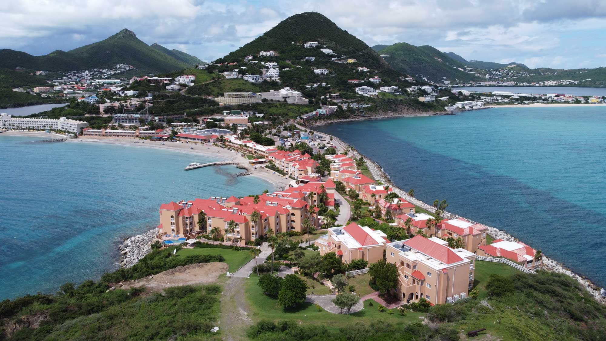
The highest points and the geologically earliest parts of the island remain in the centre, including Fort Hill.
( 220m), Cole Bay Hill (215m), Sentry Hill (344m), Saint Peter’s Hill (317m), Flagstaff (386m), Paradis (400m) and Naked Young Boy Hill (300m). Flagstaff is the highest hill on the Dutch side.
Heritage
Established in 1763, Philipsburg, the capital of Dutch St. Maarten, filled a narrow stretch of land between Great Bay and the Great Salt Pond. With its numerous shopping, restaurants, coffee shops and gambling establishments the beachfront boardwalk forms the focal point of traveler activities and has become a popular stop for cruise liner.
View this post on Instagram